Since some folks might lose their maps, and since I get a fair amount of requests for black-and-white versions of certain plots and regions, here’s a reference collection of the miscellaneous maps and outlines of maps that I’ve collected over time. This is by no means complete, and new material will be added as I find it.
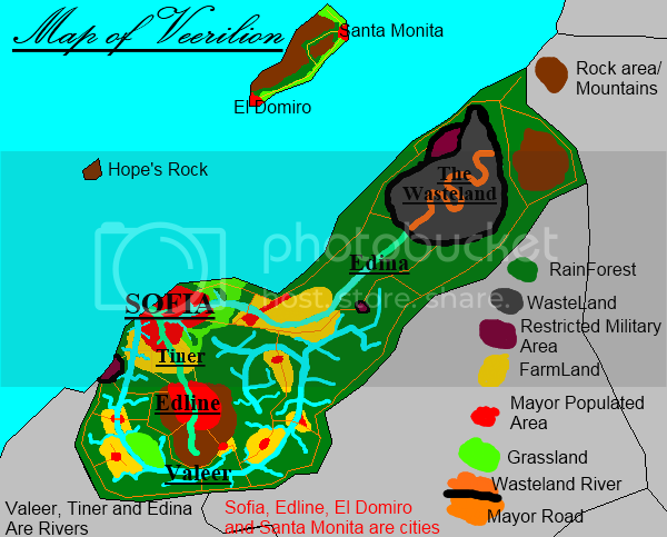
Old map of Veerilion:
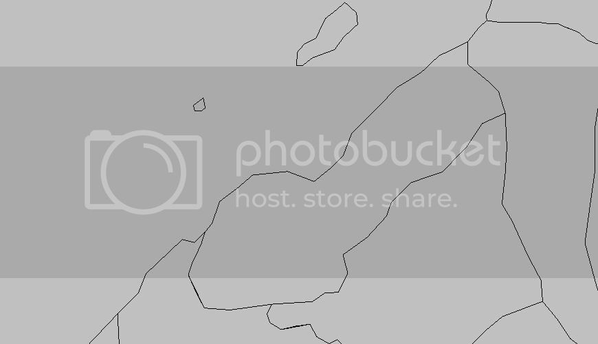
Veerilion’s map plot:
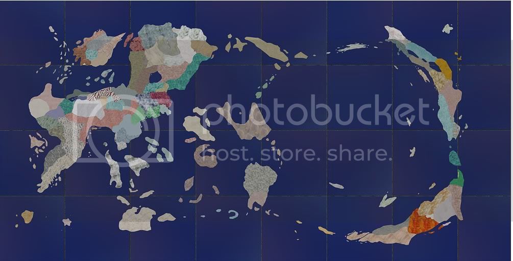
Unflagged, unmarked TEP map:
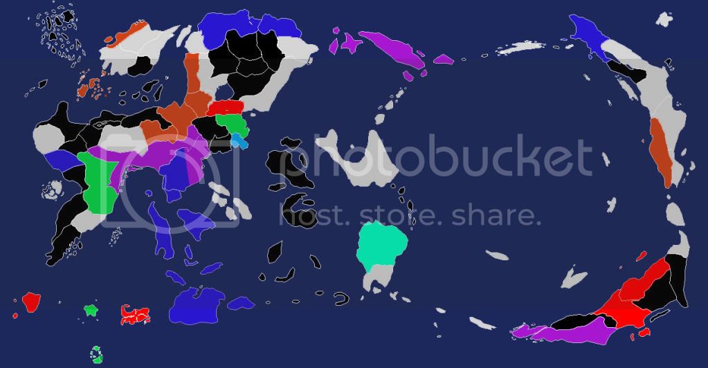
Warre’s color-coded TEP political map (try and guess what the colors mean!):
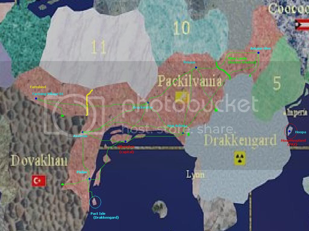
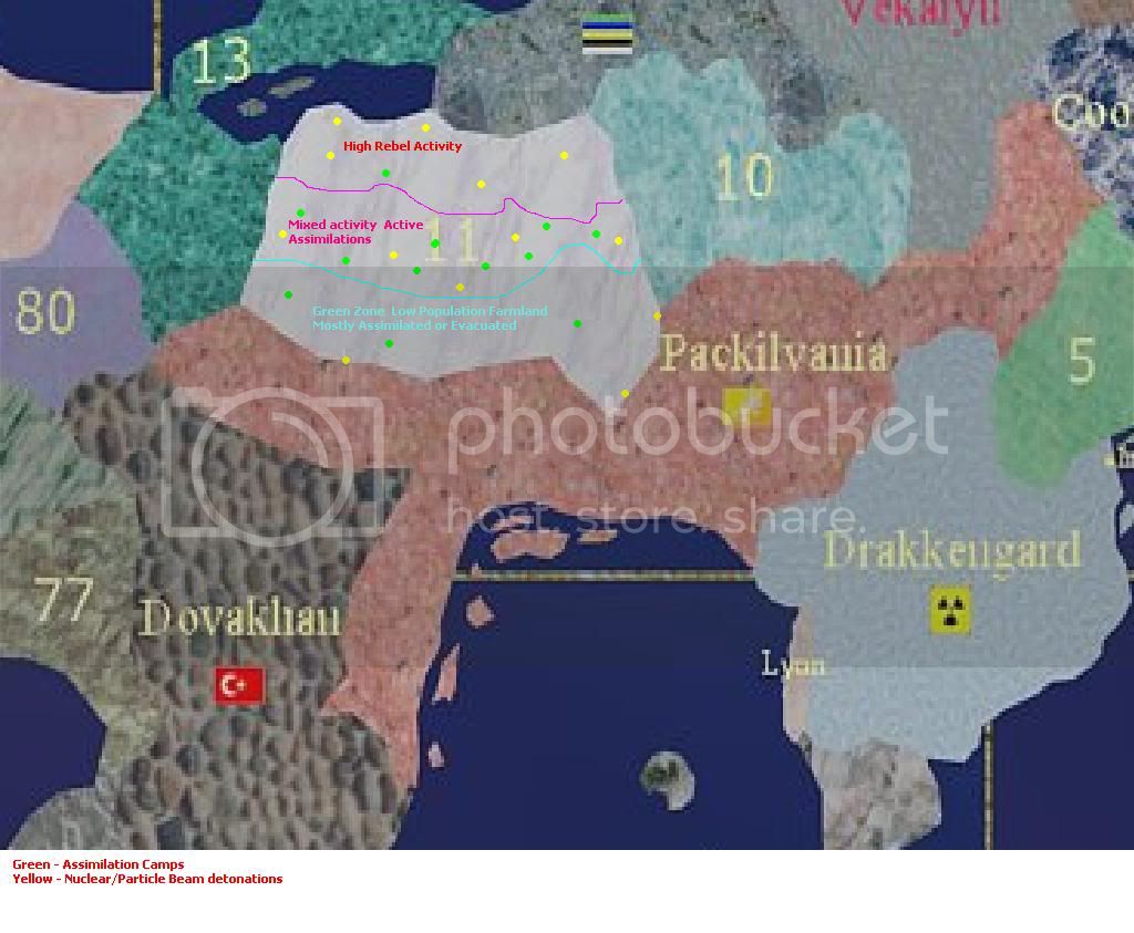
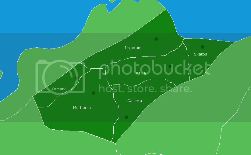
The provinces of Packilvania:
The Packilvanian occupation of Tassavalta:
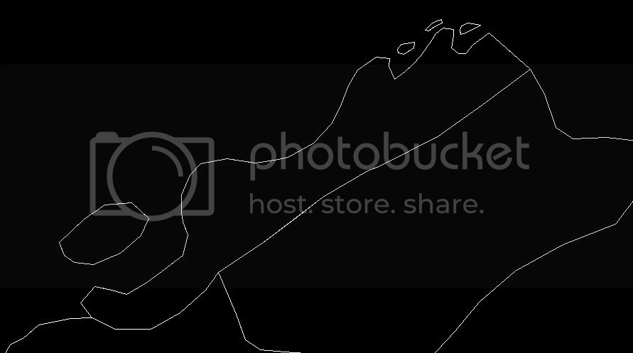
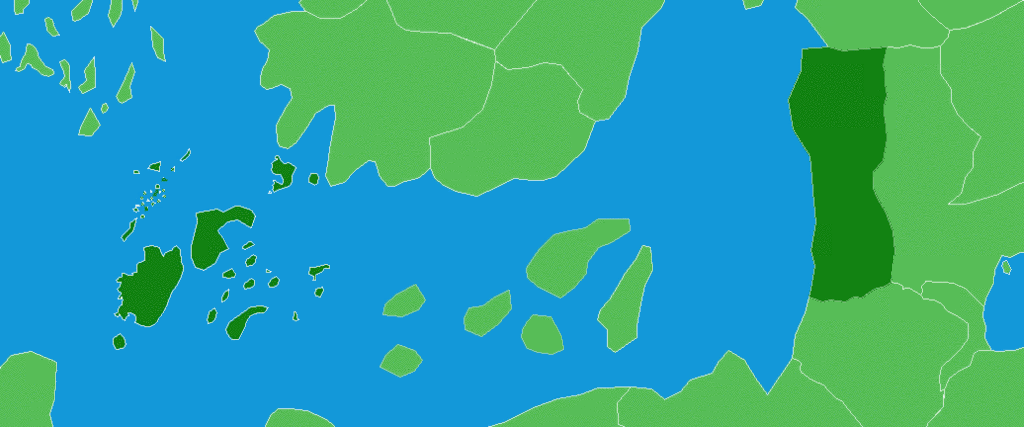
Outline of the northwest sea area:
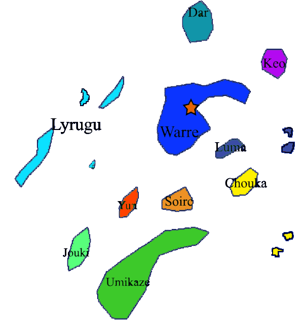
Old and new areas of Warre:
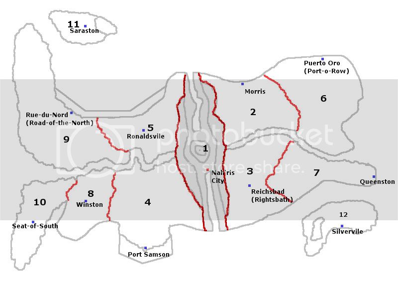
Nah’ris:
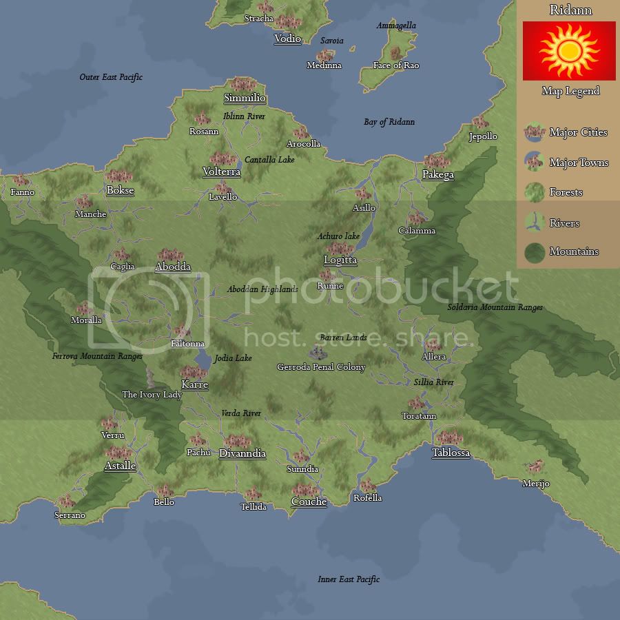
Ridann:
The Jeneras sans labels:
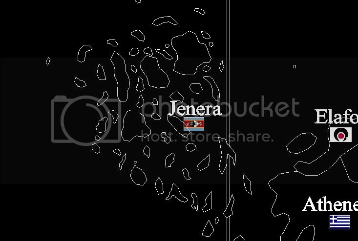
The Jeneras with labels:
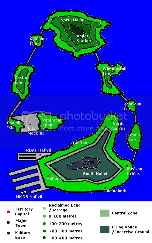
Hal’vii:
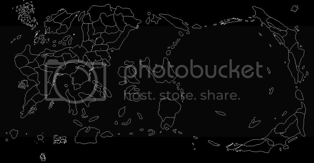
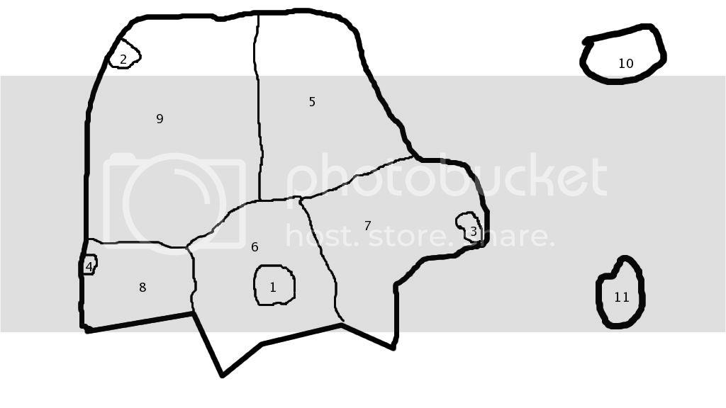
Outline of the entire map:
Outline of Elafos:
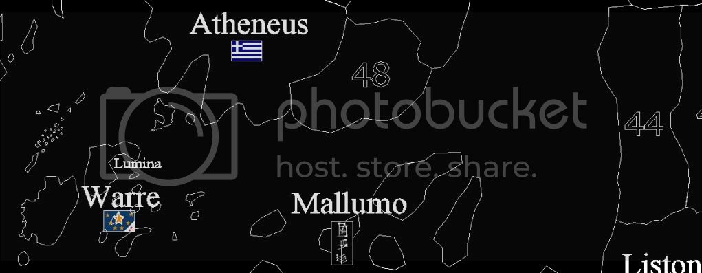
Northwest sea areas with labels:
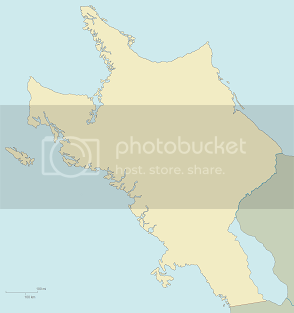
Outline of the mainland:

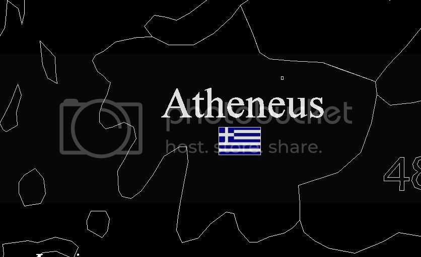
Outline of (Formerly Atheneus, now Lupan):
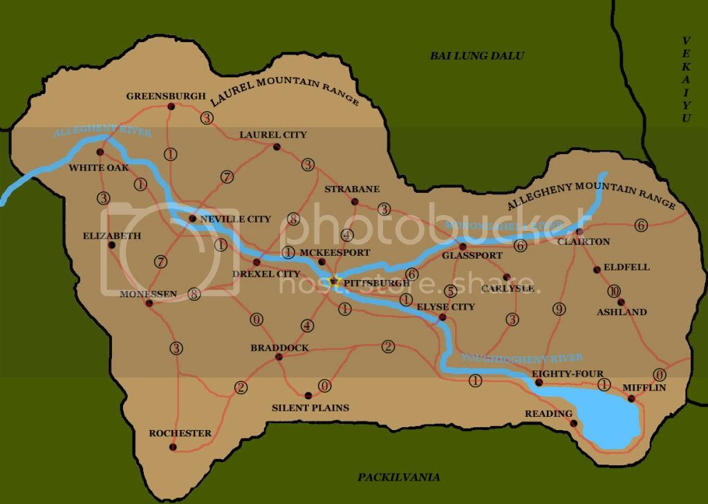
Allegheny:
Plot 56/Reviati:

Iskios outline, unlabeled:

Shivat outline:

Warreic territory:
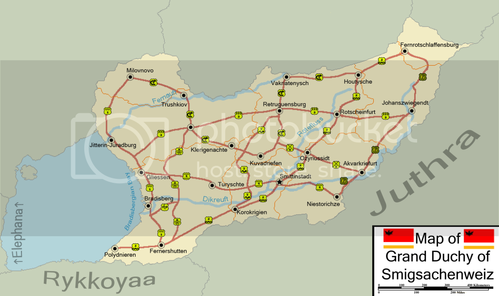
Smigsachenweiz:
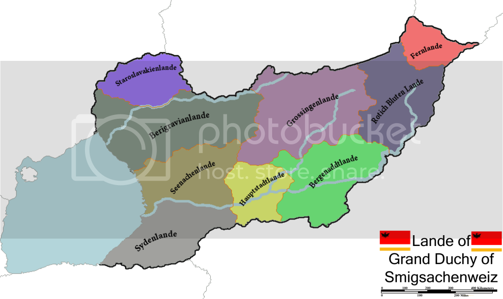
Political divisions of Smigsachenweiz:
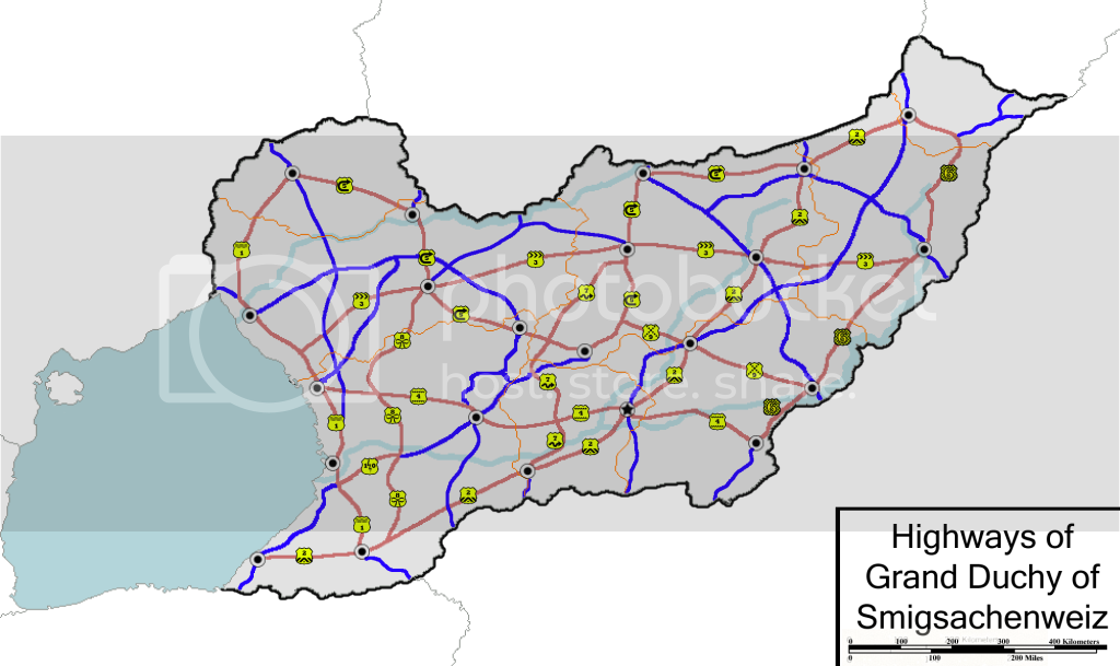
Road map of Smigsachenweiz:
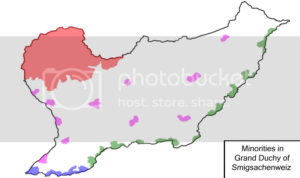
Minority populations in Smigsachenweiz:
Red - staroslavakians
Blue - Rykkoyaans
Green - Juthrans
Pink - Vulpians
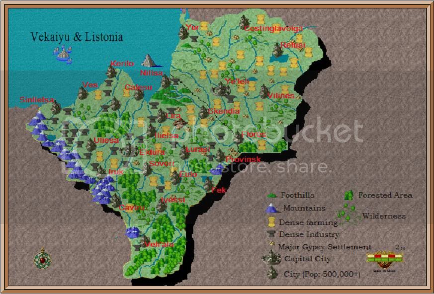
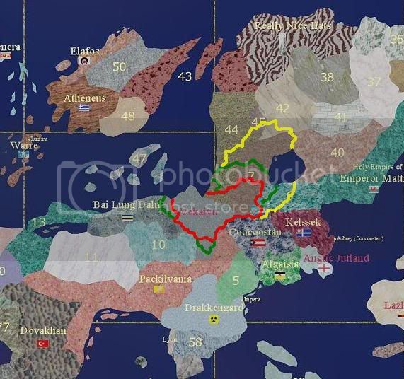
Vekaiyu and Listonia:
Political divisions of Iskios:
Small British Grand Pacific map:
Political divisions of Bai Lung:
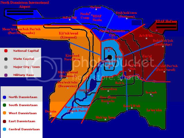
Geography of Dannistaan:
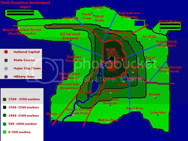
Political divisions of Dannistaan:
Extents of Vekaiyu in antiquity:
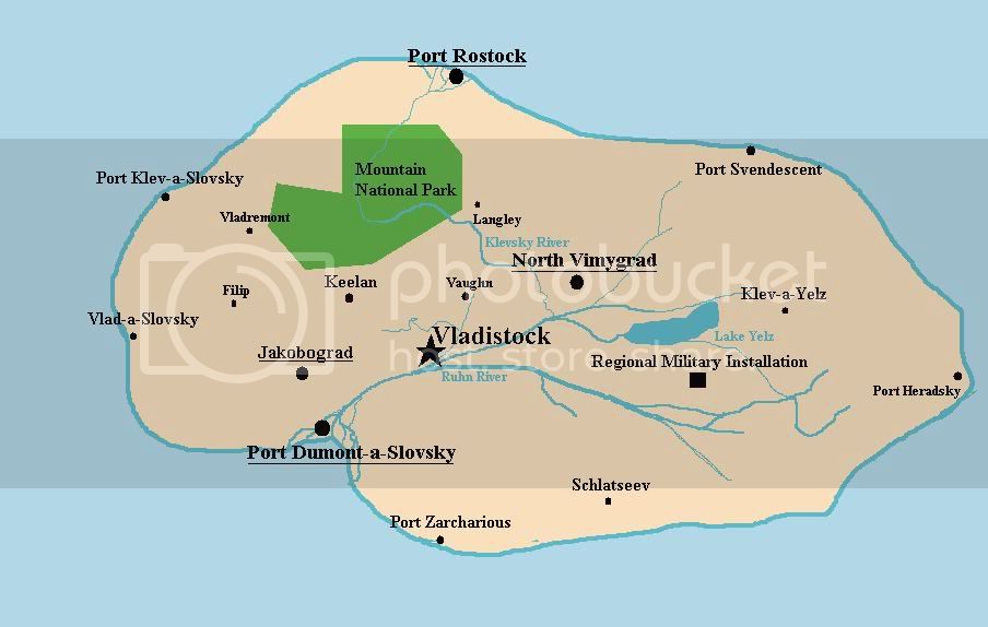
Vladistock Island:
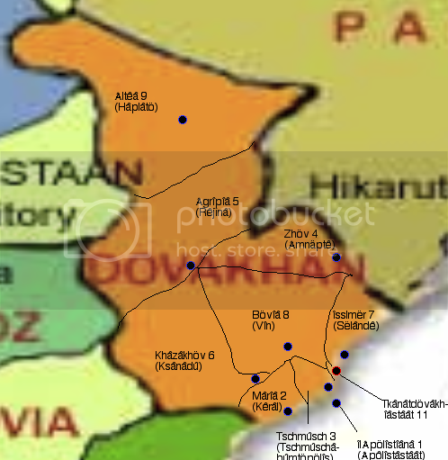
Regions of Dovakhan:
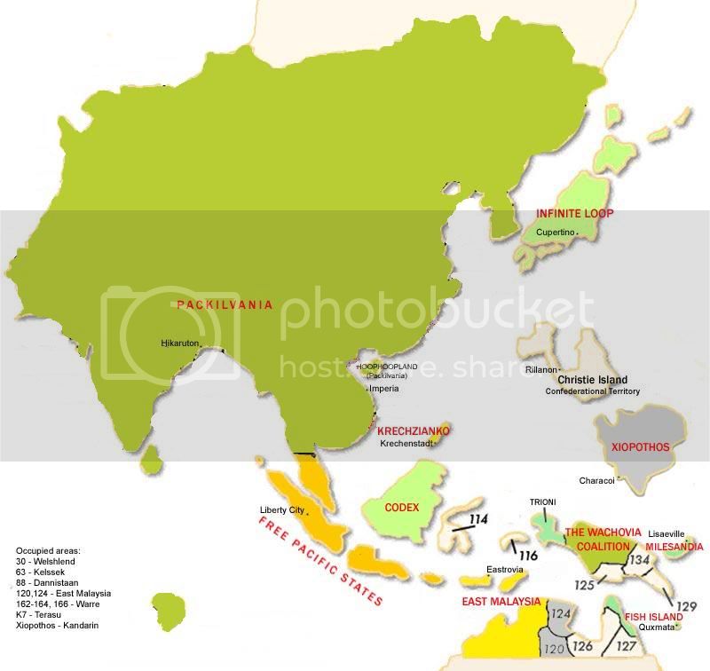
Packilvania’s map of the East Pacific :lol: :
States of Warre before the mists:
Detailed map of British Grand Pacific:
