That is a pile o islands I would have given up on naming the all
— Begin quote from ____
That is a pile o islands I would have given up on naming the all
— End quote
And ya’ll wonder why I haven’t created a national map yet…not to sound lazy, but really, designing the city and population layout for a country that contains 2/3 of Earth’s current population…just way above the head of me and my little bit of microsoft paint experience.
— Begin quote from ____
That is a pile o islands I would have given up on naming the all
— End quote
Well, since I really have nothing better to do… :lol: Currency and stamps are next. ![]()
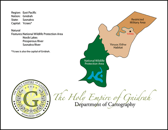
Alrighty. Here is the official map of Krechzianko, as released by the Ministry of Cartography:
— Begin quote from ____
Hand-drawn in Photoshop with nothing but my mouse and my bare wit.
— End quote
Any chance you can do that for my country???
someone please help me!!!
Gov, if you have a scanner, then on a piece of paper draw it out, then scan it. If there were any mistakes in the scanned image, you could fix them in, say, Paint. If you have an account in a WWW site (such as Photobucket or MSN Spaces) that allows you to have a photo album, upload it onto your account. Then (if you have MSN Spaces), right-click the photo and click “Properties”. From Properties you have the link to the photo. Copy the link and paste it on here.
That’s how I’m doing mine, but I don’t know how to operate Dad’s scanner, so it’ll take time.
— Begin quote from ____
Gov, if you have a scanner, then on a piece of paper draw it out, then scan it. If there were any mistakes in the scanned image, you could fix them in, say, Paint. If you have an account in a WWW site (such as Photobucket or MSN Spaces) that allows you to have a photo album, upload it onto your account. Then (if you have MSN Spaces), right-click the photo and click “Properties”. From Properties you have the link to the photo. Copy the link and paste it on here.
That’s how I’m doing mine, but I don’t know how to operate Dad’s scanner, so it’ll take time.
— End quote
-
The scanner portion of my PSC 500 is not working properly. I haven’t really known why
-
I’m a CS major, but I suck at Photoshop
-
I was planning to use Kelssek’s model, but have modern day states for India (w/the exception of a few areas) and territory…so yea, I’ll be needing some help :-/.
All right, I’ve been talking the talk with my national map, but now I’m walking the walk!! I’ve the national map of Blanchettia on my computer. However, it hasn’t been updated in a long time, so Geldhame isn’t listed, and Rangoon, Diego Garcia, Andaman Islands, and Nicobar Islands aren’t shown. However, a map of Rangoon will be out soon.
The National Map of the Republic of Blanchettia will be uploaded shortly.
And here it is!
Yes, it’s small, but that’s how my scanner does things, apparently. Same with Photobucket :swet:
— Begin quote from ____
And here it is!
Yes, it’s small, but that’s how my scanner does things, apparently. Same with Photobucket :swet:
— End quote
help me create my map?
I’ll help, but you’re going to have to tell me what goes where.
— Begin quote from ____
I’ll help, but you’re going to have to tell me what goes where.
— End quote
all right, do you use AIM so i can stay in touch w/you on this - PM me your SN if you have it? Thanks.
I’ll post up a template for you soon, put in where you want everything and I’ll awesomeize it.
Thanks, I’ll work on it this weekend…took me a while to realise it was fitting the exact territory as above - must have been thrown off by the red lines…
Kel, can you do a template for me too? I want to make my national map bigger, but Photobucket won’t let me do it because the picture is too small, and I can’t fix it on my OCR software.
