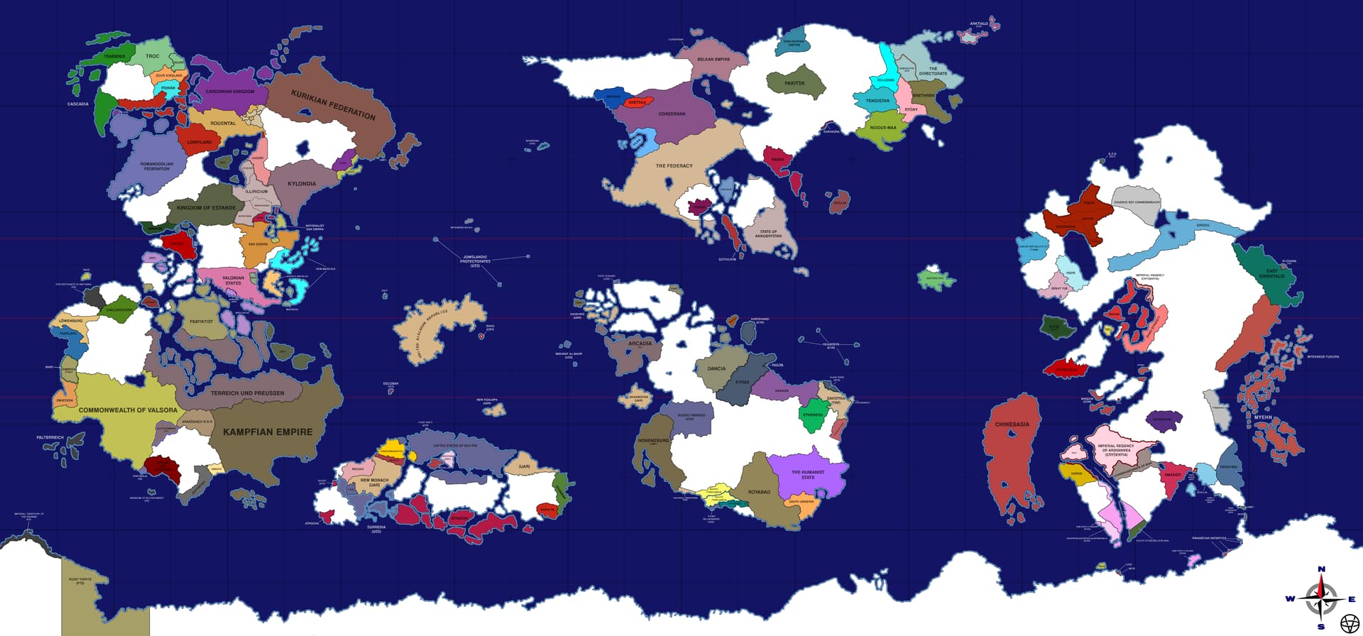
Dear TEPers.
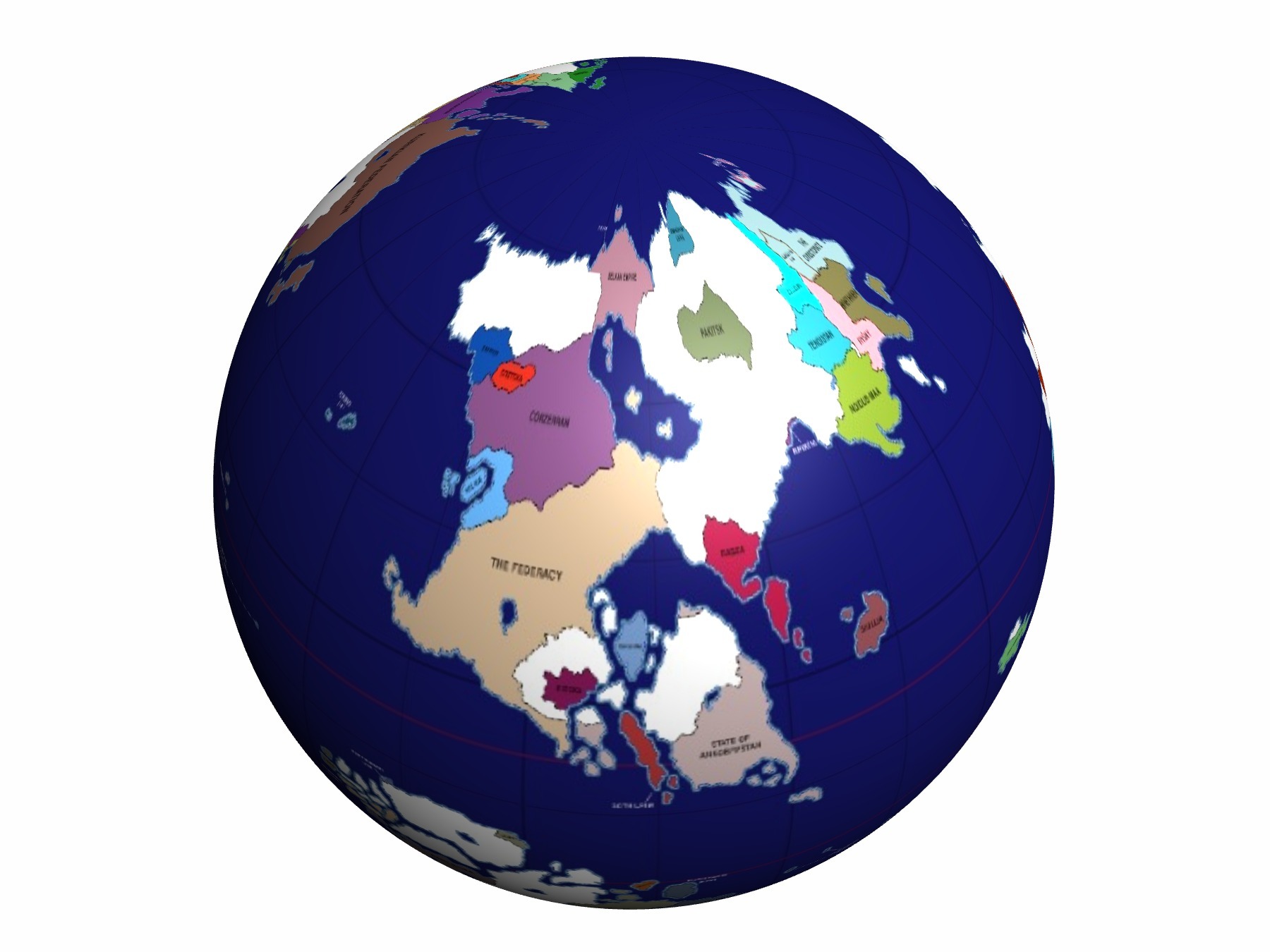
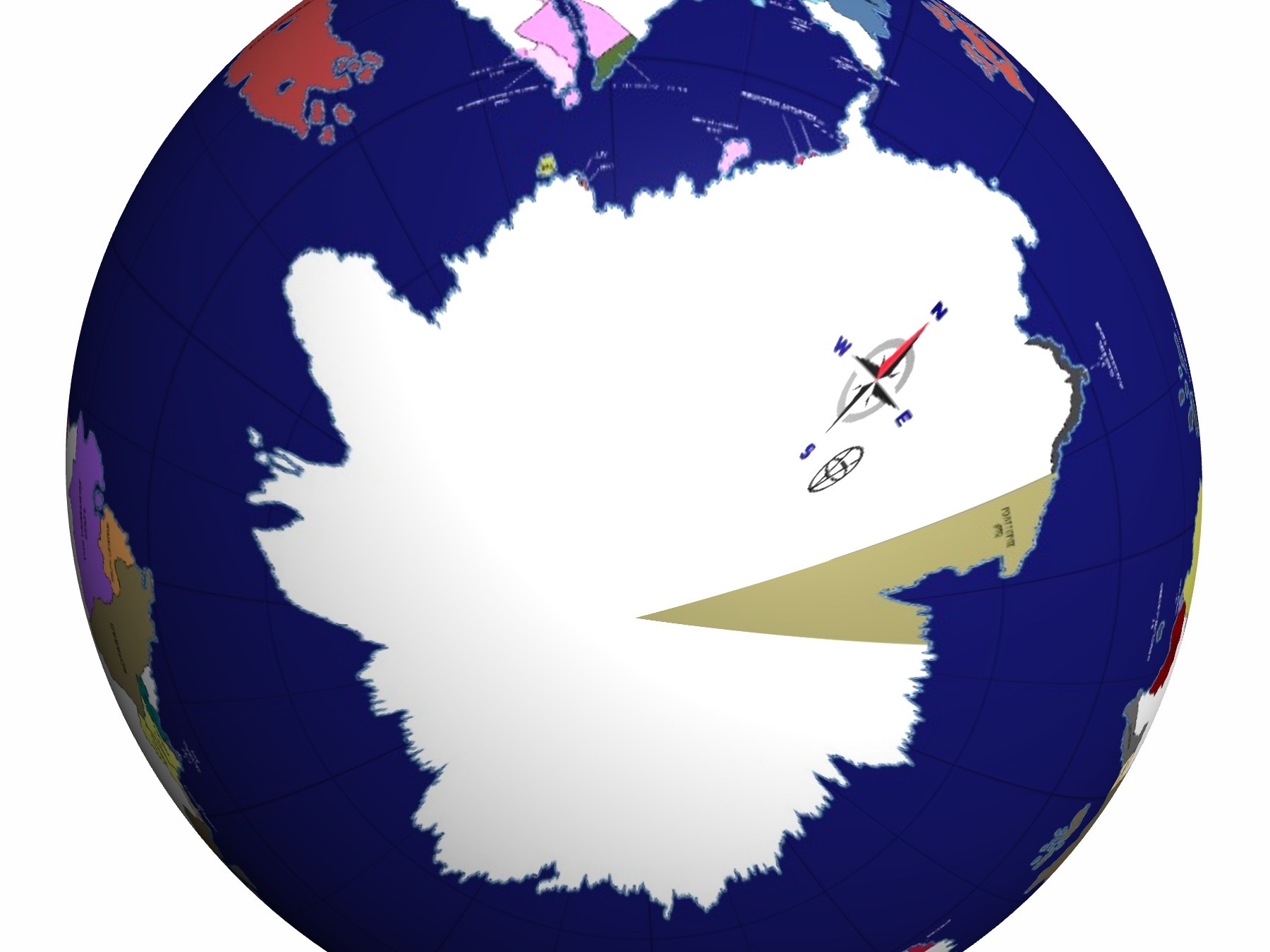
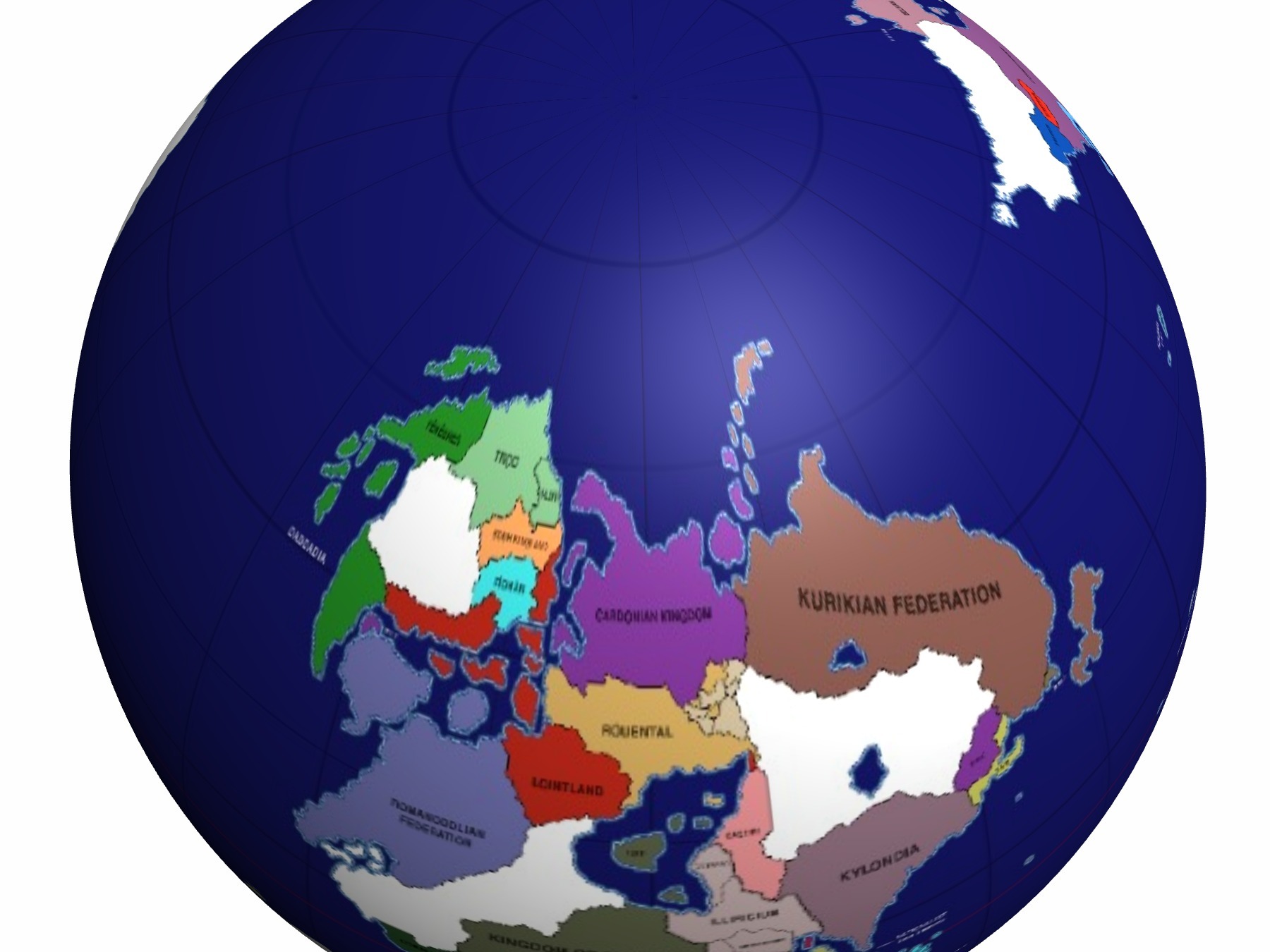
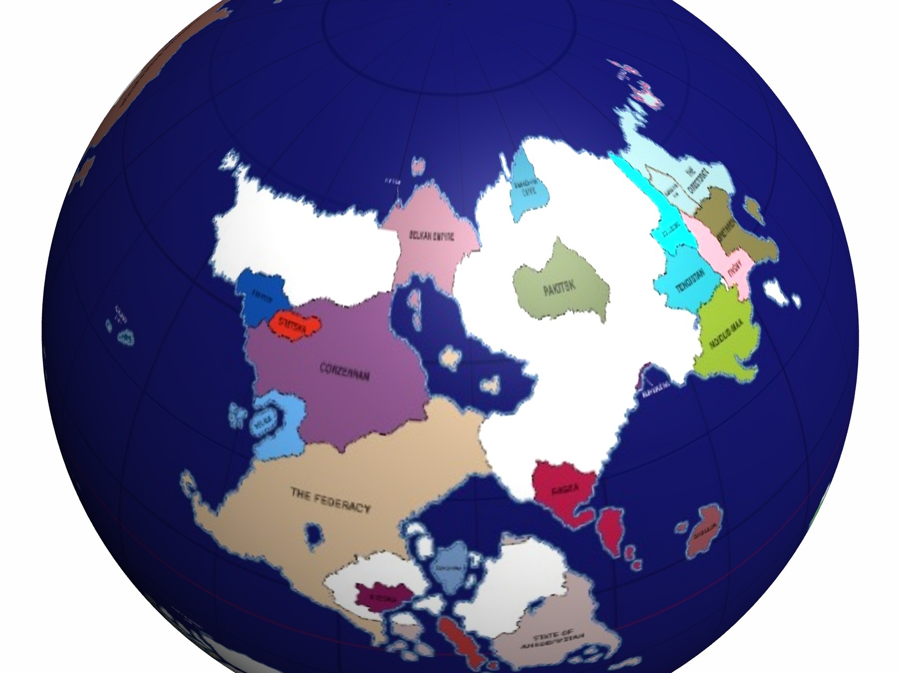
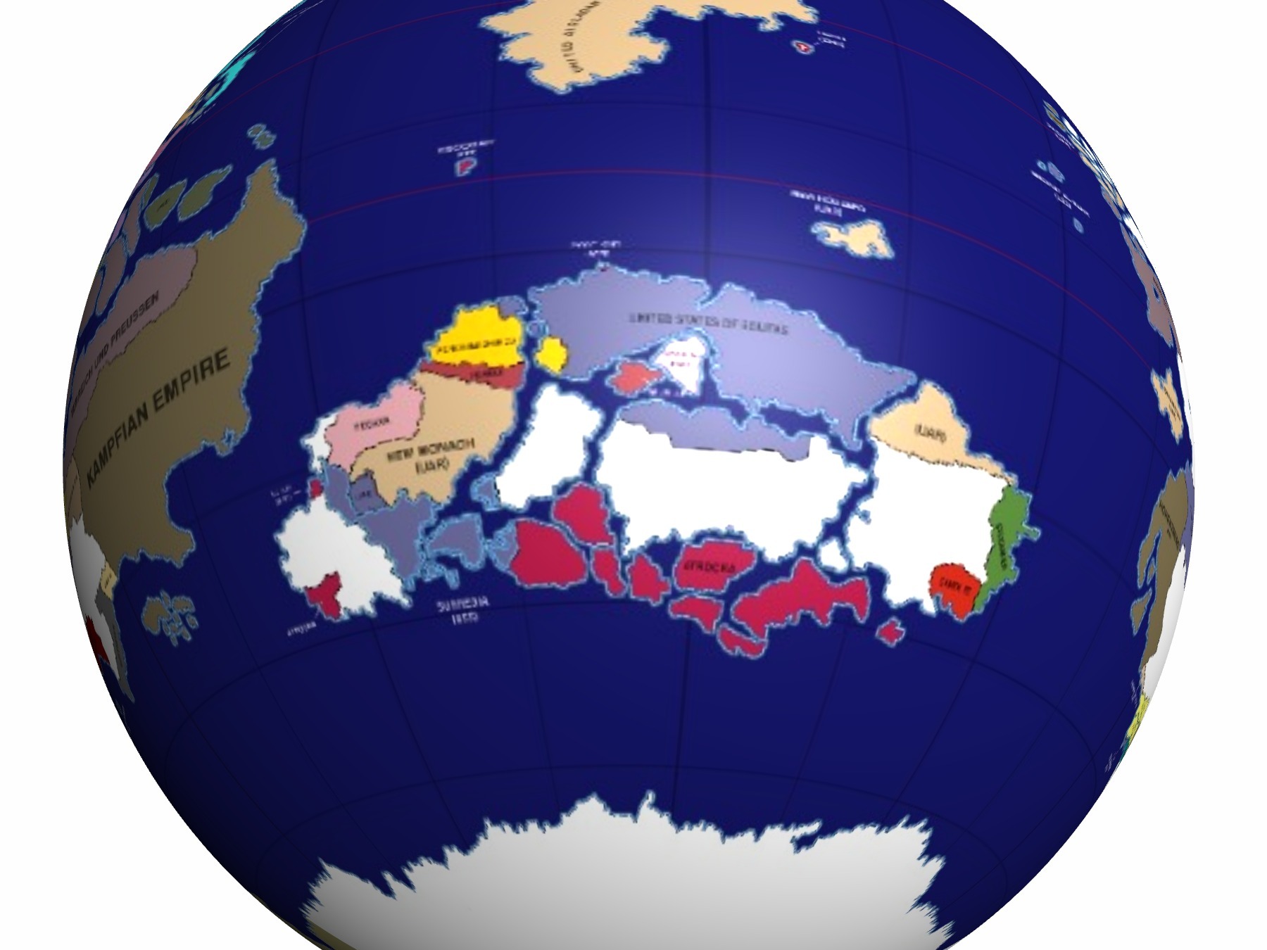
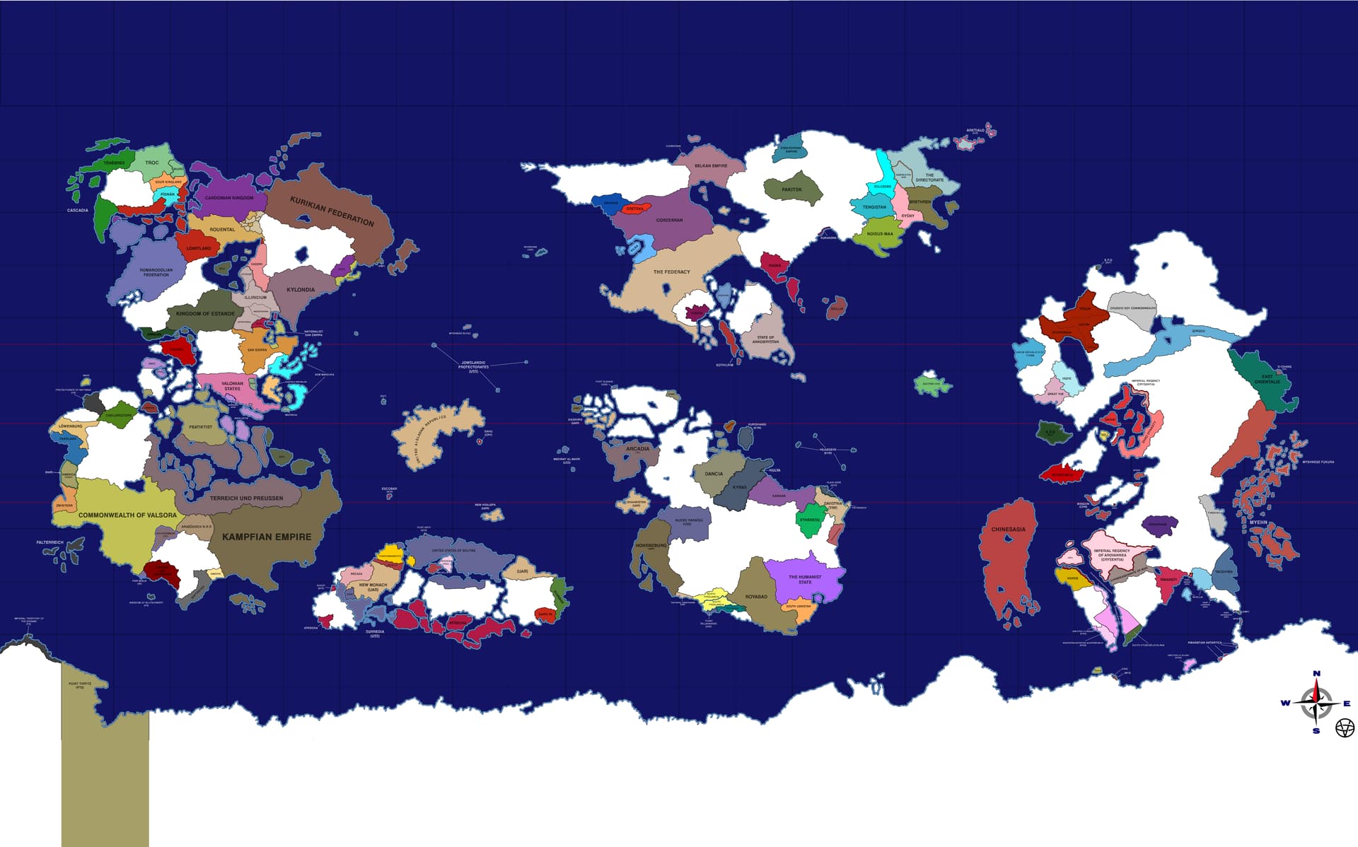
I tried representing Valsora on a globe (sphere) and found an interesting issue - polar and subpolar regions are immensely distorted, making the Belkan Empire the size of Ikgye on the equator, and much more.
The current map favors equatorial countries more while substantially undermining Yastreovakian, Nonscio and Southern Orientalis countries.
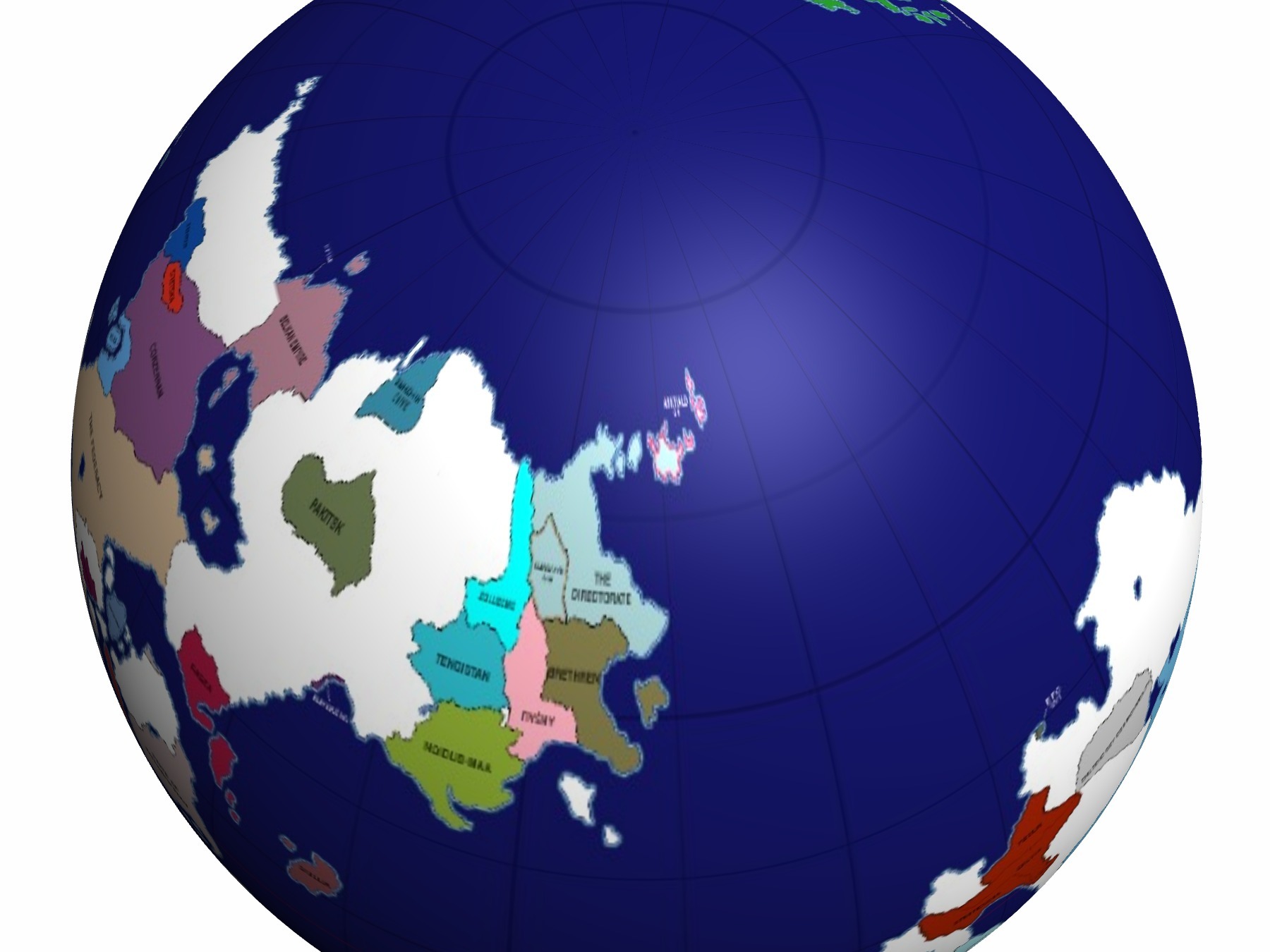
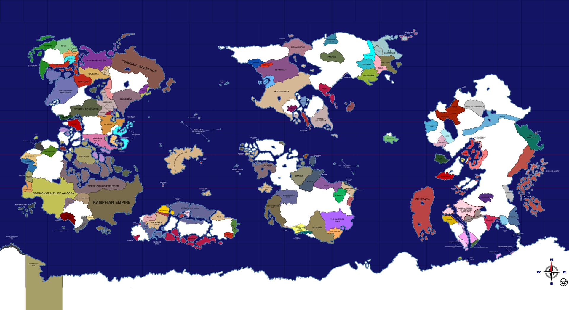
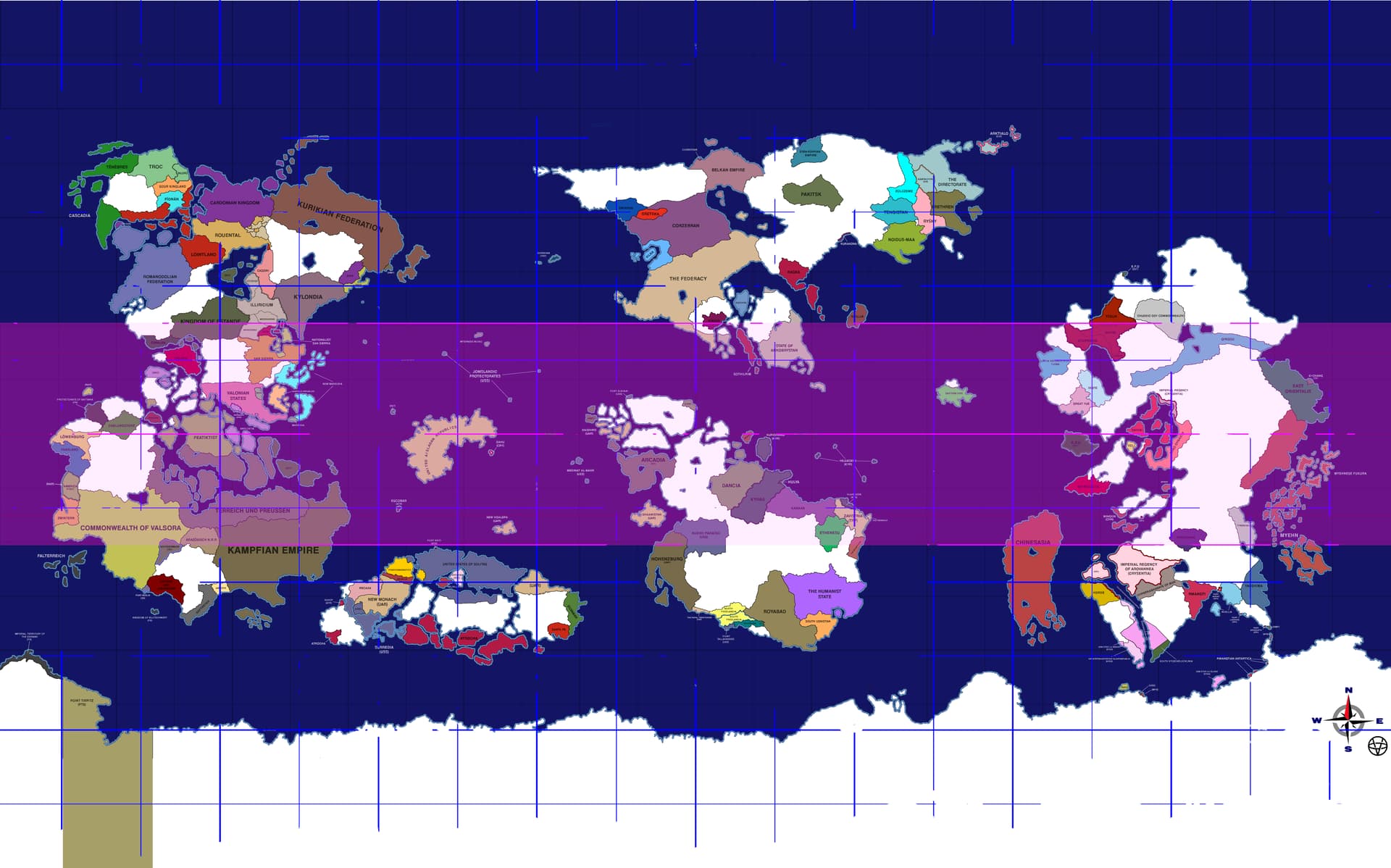
You can find the spoilers with pictures related to each of the ways of wrapping below: the original Valsora Map, +1 polar “square”, and +2 polar squares. Please comment on which representation is more favorable from your point of view.
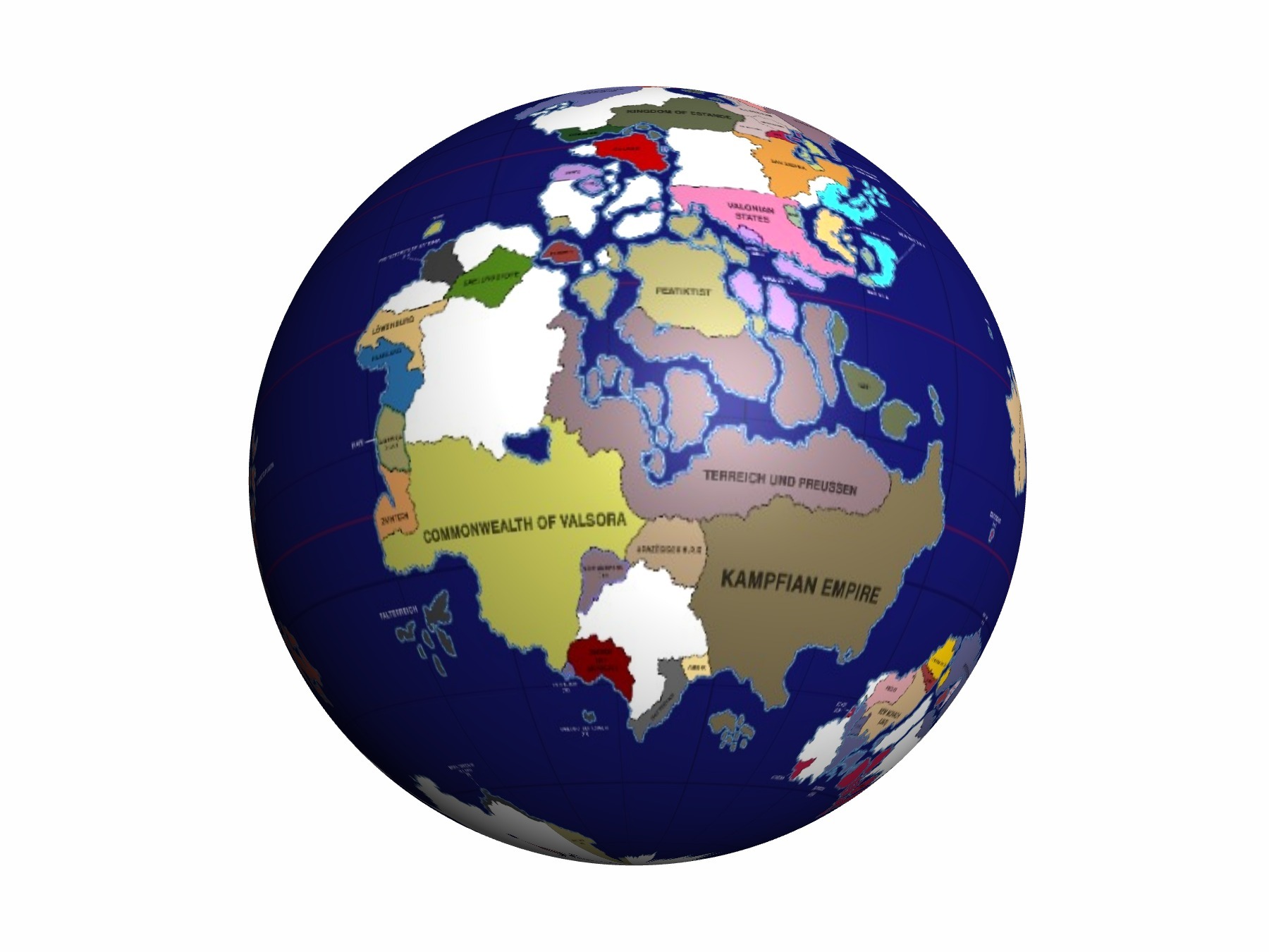
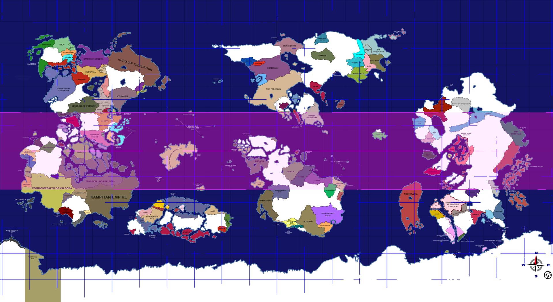
I also added the flat map versions of each representation to the spoilers with adjusted original tropic lines, the tropical zone marked in purple.
1.Original Valsora Map:
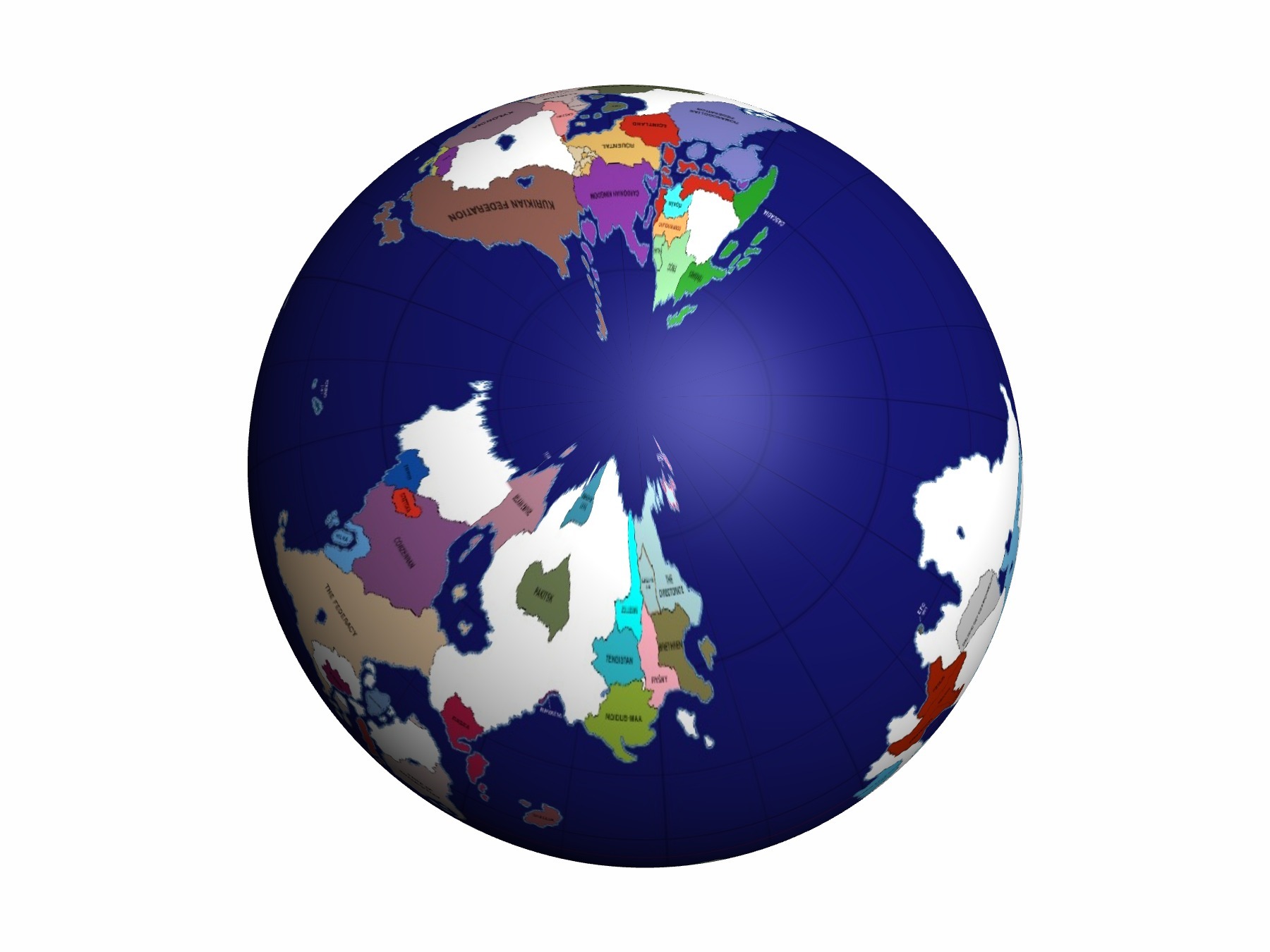
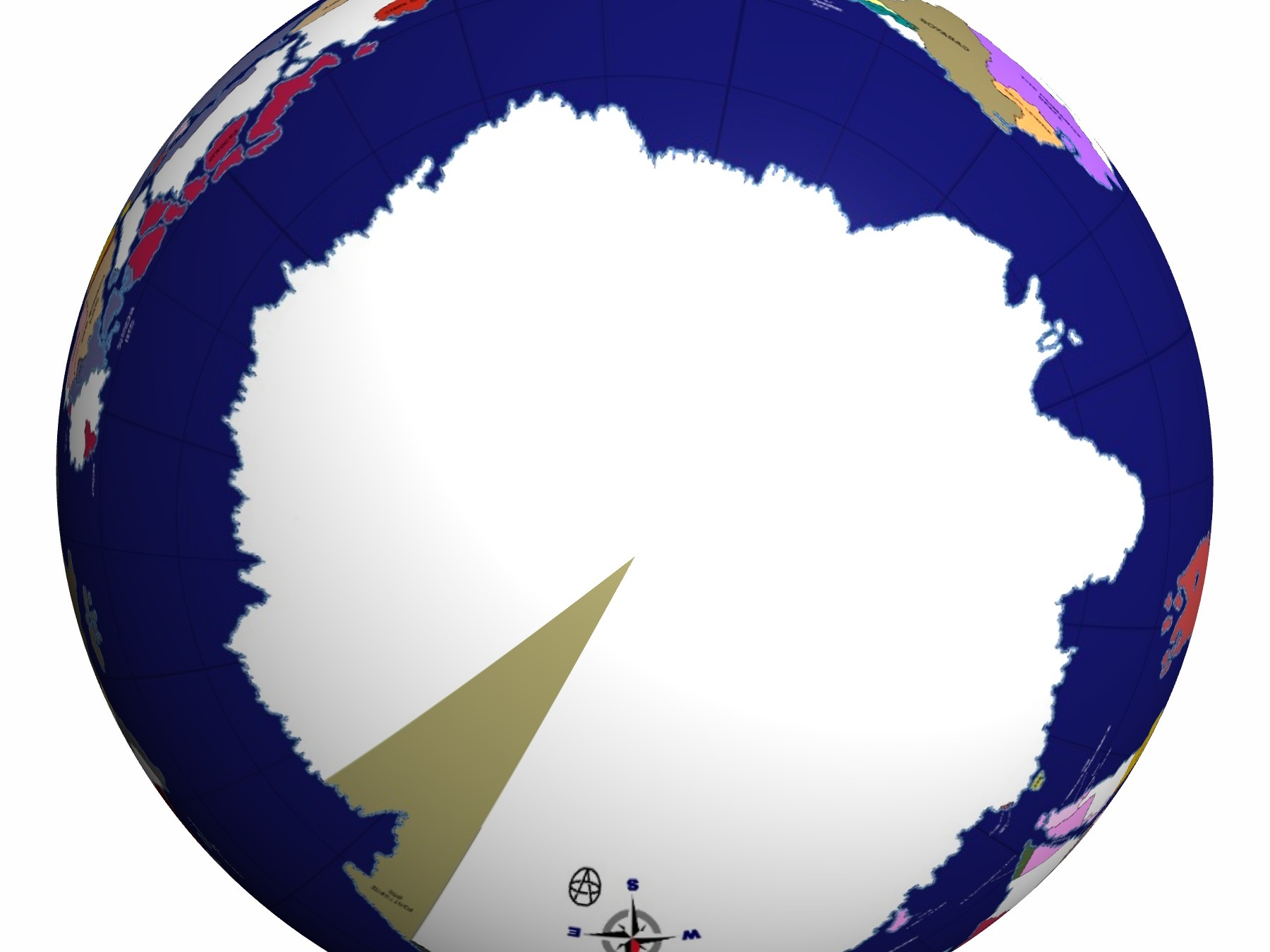
- +1 polar square
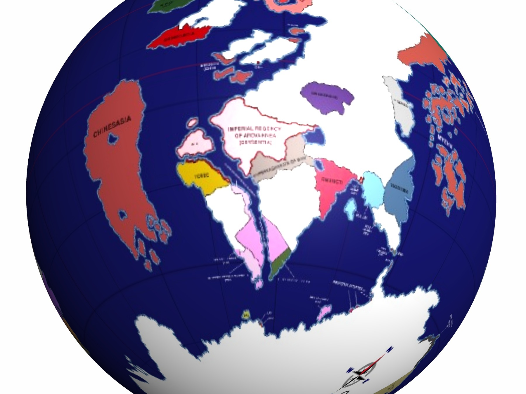
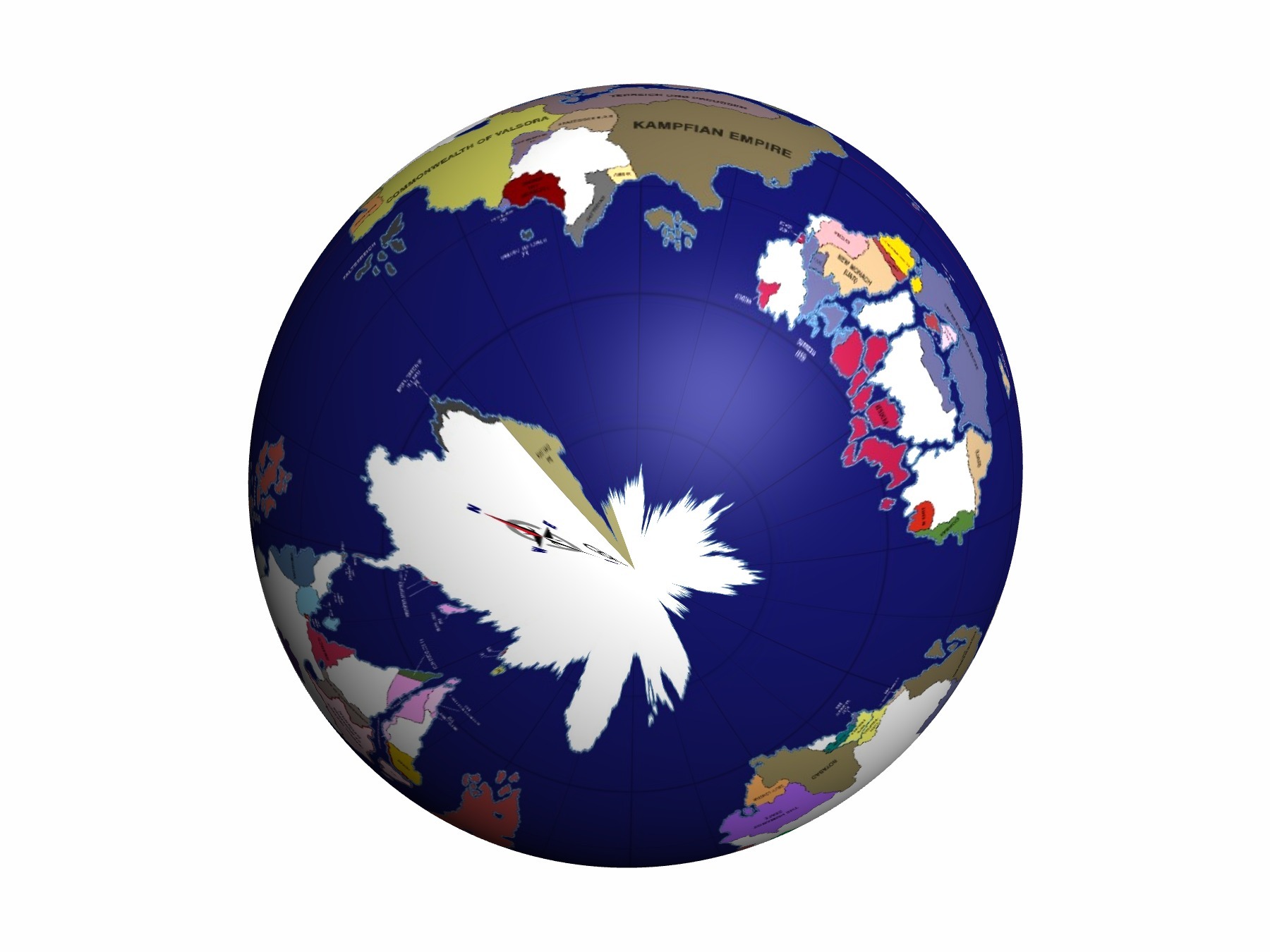
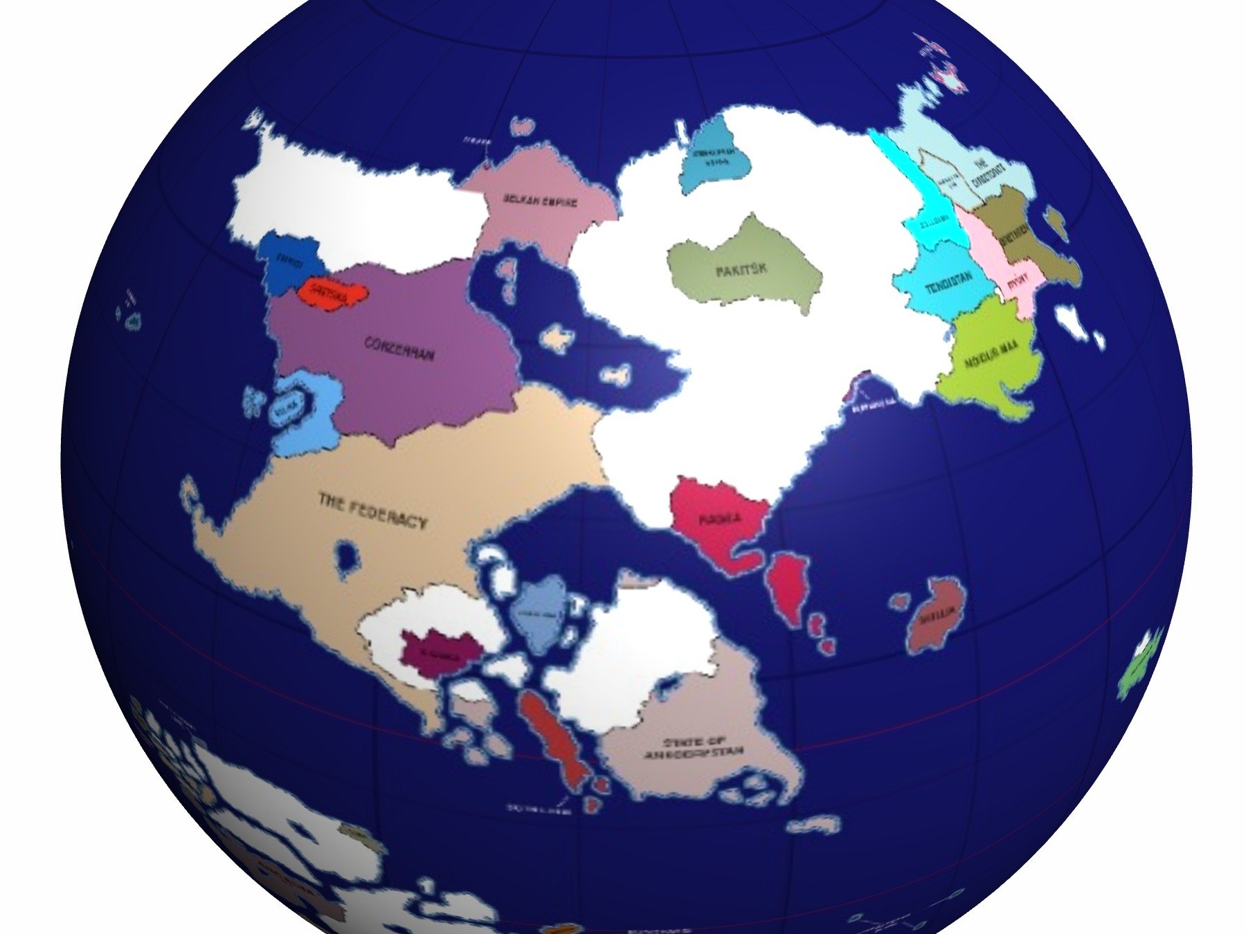
3.+2 polar squares

Moderator note: please move this topic to the respective theme if applicable since I only have access to “Nation Creation Starts Here” Subcategory of the “Cartography” category.